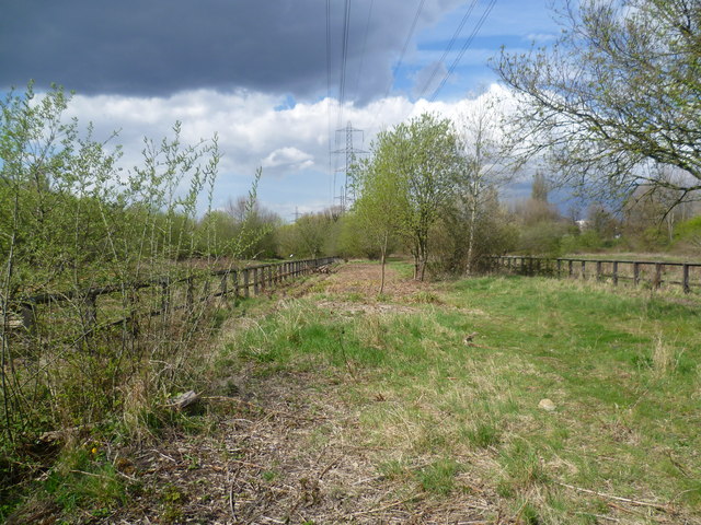
Wandle Meadow Nature Park
Introduction
The photograph on this page of Wandle Meadow Nature Park by Marathon as part of the Geograph project.
The Geograph project started in 2005 with the aim of publishing, organising and preserving representative images for every square kilometre of Great Britain, Ireland and the Isle of Man.
There are currently over 7.5m images from over 14,400 individuals and you can help contribute to the project by visiting https://www.geograph.org.uk

Image: © Marathon Taken: 11 Apr 2012
This site was originally a sewage works, built in 1877 by the Croydon Board of Health. They became the works of the Wandle Valley Joint Sewerage Board in 1917. The works were closed in the 1970s and the above-ground structures demolished and made safe. Eventually in 1994, Merton Council allowed housing in a small part of the old works to the west of the River Wandle and established Wandle Meadow Nature Park on the rest. Although the clouds looked threatening on this day, the showers never really materialised, at least not where I was.

