Langley Court
Introduction
The photograph on this page of Langley Court by John M as part of the Geograph project.
The Geograph project started in 2005 with the aim of publishing, organising and preserving representative images for every square kilometre of Great Britain, Ireland and the Isle of Man.

There are currently over 7.5m images from over 14,400 individuals and you can help contribute to the project by visiting https://www.geograph.org.uk
Langley Court
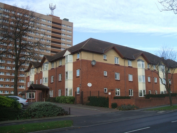
Image: © John M Taken: 2 Dec 2006
This 'very sheltered housing' scheme has been developed by Wolverhampton City Council in partnership with Anchor Housing Trust.
Images are licensed for reuse under creativecommons.org/licenses/by-sa/2.0
Image Location


Leaflet Map data © OpenStreetMap
Latitude
52.569802
Longitude
-2.16963