Road Junction in farmland near Reigate
Introduction
The photograph on this page of Road Junction in farmland near Reigate by Hywel Williams as part of the Geograph project.
The Geograph project started in 2005 with the aim of publishing, organising and preserving representative images for every square kilometre of Great Britain, Ireland and the Isle of Man.

There are currently over 7.5m images from over 14,400 individuals and you can help contribute to the project by visiting https://www.geograph.org.uk
Road Junction in farmland near Reigate
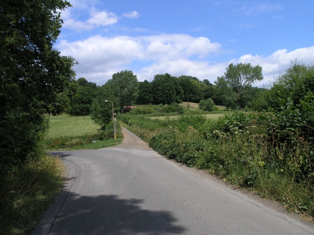
Image: © Hywel Williams Taken: 19 Jul 2005
A junction leading to some housing to the left and a farm house straight on. The edge of the North Downs is ahead.
Images are licensed for reuse under creativecommons.org/licenses/by-sa/2.0
Image Location
Latitude
51.247293
Longitude
-0.217602