River Wandle near Wimbledon Stadium
Introduction
The photograph on this page of River Wandle near Wimbledon Stadium by Marathon as part of the Geograph project.
The Geograph project started in 2005 with the aim of publishing, organising and preserving representative images for every square kilometre of Great Britain, Ireland and the Isle of Man.

There are currently over 7.5m images from over 14,400 individuals and you can help contribute to the project by visiting https://www.geograph.org.uk
River Wandle near Wimbledon Stadium
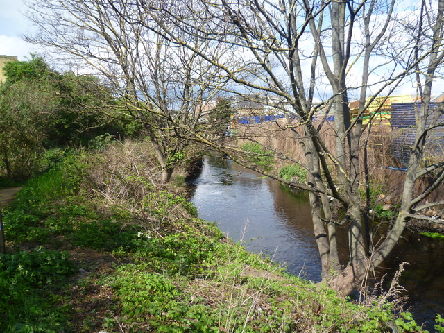
Image: © Marathon Taken: 11 Apr 2012
The section of the River Wandle and the Wandle Trail between Plough Lane and Earlsfield has commerce on the right bank, followed by allotments, and a housing estate, on the site of the old Wimbledon F. C. ground, on the left bank followed by more commerce. Here commercial premises are on both sides. The Wandle Trail can just be glimpsed on the left.
Images are licensed for reuse under creativecommons.org/licenses/by-sa/2.0
Image Location
Latitude
51.431308
Longitude
-0.189878