Gatekeeper's House - Leyton Marshes
Introduction
The photograph on this page of Gatekeeper's House - Leyton Marshes by P KAVANAGH as part of the Geograph project.
The Geograph project started in 2005 with the aim of publishing, organising and preserving representative images for every square kilometre of Great Britain, Ireland and the Isle of Man.

There are currently over 7.5m images from over 14,400 individuals and you can help contribute to the project by visiting https://www.geograph.org.uk
Gatekeeper's House - Leyton Marshes
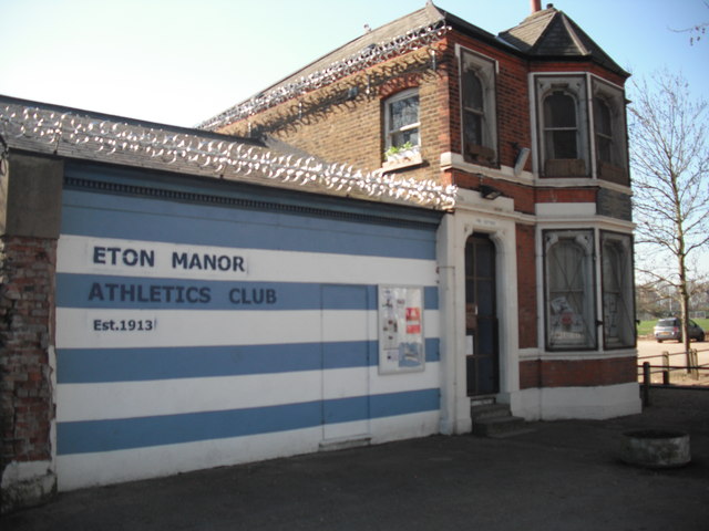
Image: © P KAVANAGH Taken: 27 Mar 2012
This house bears an inscription dedicated to the local people who fought to retain grazing rights on this common land. The fields were known as the Lammas fields, reflection of the time after lambing when anyone could use the land for grazing.
Images are licensed for reuse under creativecommons.org/licenses/by-sa/2.0
Image Location
Latitude
51.564598
Longitude
-0.024002