The junction of Bronte Road and Lisnacroppan Road
Introduction
The photograph on this page of The junction of Bronte Road and Lisnacroppan Road by Eric Jones as part of the Geograph project.
The Geograph project started in 2005 with the aim of publishing, organising and preserving representative images for every square kilometre of Great Britain, Ireland and the Isle of Man.

There are currently over 7.5m images from over 14,400 individuals and you can help contribute to the project by visiting https://www.geograph.org.uk
The junction of Bronte Road and Lisnacroppan Road
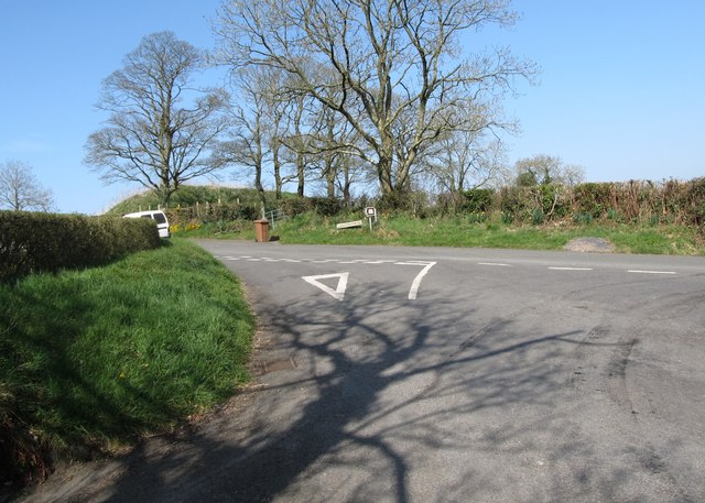
Image: © Eric Jones Taken: 28 Mar 2012
There is a discrepancy in the spelling between road name signs and the Ordnance Survey Northern Ireland maps. The road signs gives the name as "Lisnacroppin", OSNI prefer "Lisnacroppan".
Images are licensed for reuse under creativecommons.org/licenses/by-sa/2.0
Image Location
Latitude
54.279353
Longitude
-6.224126