M1 motorway at junction 8
Introduction
The photograph on this page of M1 motorway at junction 8 by Peter Whatley as part of the Geograph project.
The Geograph project started in 2005 with the aim of publishing, organising and preserving representative images for every square kilometre of Great Britain, Ireland and the Isle of Man.

There are currently over 7.5m images from over 14,400 individuals and you can help contribute to the project by visiting https://www.geograph.org.uk
M1 motorway at junction 8
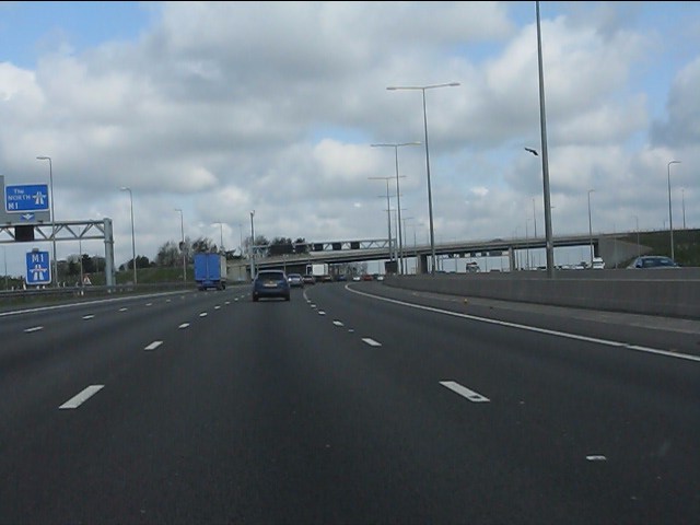
Image: © Peter Whatley Taken: 3 Apr 2012
Signs on the left mark the new slip road from the A414 to northbound M1, created as part of the 2008/9 reconstruction and widening scheme. Junction 8 has retained a "trumpet" layout which has featured at the junction since its opening in 1959, though the original circular section was south of the junction, its position still discernible both from the OS maps and on the ground. For more on UK motorway junction types, see: http://www.cbrd.co.uk/interchanges/.
Images are licensed for reuse under creativecommons.org/licenses/by-sa/2.0
Image Location
Latitude
51.75669
Longitude
-0.416836