Parallel running - M1 and A414
Introduction
The photograph on this page of Parallel running - M1 and A414 by Peter Whatley as part of the Geograph project.
The Geograph project started in 2005 with the aim of publishing, organising and preserving representative images for every square kilometre of Great Britain, Ireland and the Isle of Man.

There are currently over 7.5m images from over 14,400 individuals and you can help contribute to the project by visiting https://www.geograph.org.uk
Parallel running - M1 and A414
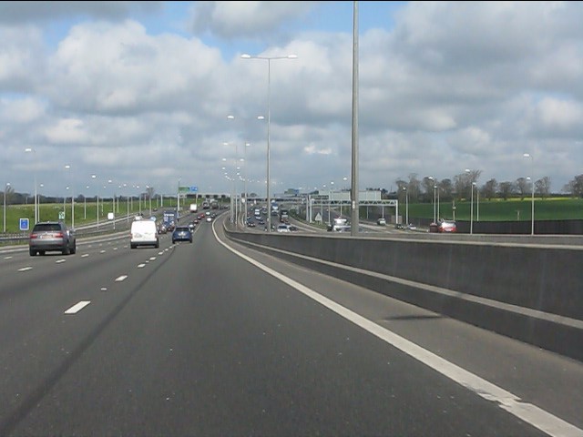
Image: © Peter Whatley Taken: 3 Apr 2012
Part of the M1/M10 interchange, dating from 2008/9 which included downgrading the M10 to A414.
Images are licensed for reuse under creativecommons.org/licenses/by-sa/2.0
Image Location
Latitude
51.750777
Longitude
-0.411828