Neasden Bridge, North Circular Road (A406)
Introduction
The photograph on this page of Neasden Bridge, North Circular Road (A406) by Peter Whatley as part of the Geograph project.
The Geograph project started in 2005 with the aim of publishing, organising and preserving representative images for every square kilometre of Great Britain, Ireland and the Isle of Man.

There are currently over 7.5m images from over 14,400 individuals and you can help contribute to the project by visiting https://www.geograph.org.uk
Neasden Bridge, North Circular Road (A406)
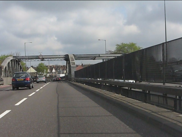
Image: © Peter Whatley Taken: 3 Apr 2012
The large girder arch carries the A406 over a total of six tracks: two each for the main line from Marylebone, plus the Metropolitan & Jubilee underground lines.
Images are licensed for reuse under creativecommons.org/licenses/by-sa/2.0
Image Location


Leaflet Map data © OpenStreetMap
Latitude
51.554745
Longitude
-0.253212