Trough, Cowrakes Road, Lindley
Introduction
The photograph on this page of Trough, Cowrakes Road, Lindley by Humphrey Bolton as part of the Geograph project.
The Geograph project started in 2005 with the aim of publishing, organising and preserving representative images for every square kilometre of Great Britain, Ireland and the Isle of Man.

There are currently over 7.5m images from over 14,400 individuals and you can help contribute to the project by visiting https://www.geograph.org.uk
Trough, Cowrakes Road, Lindley
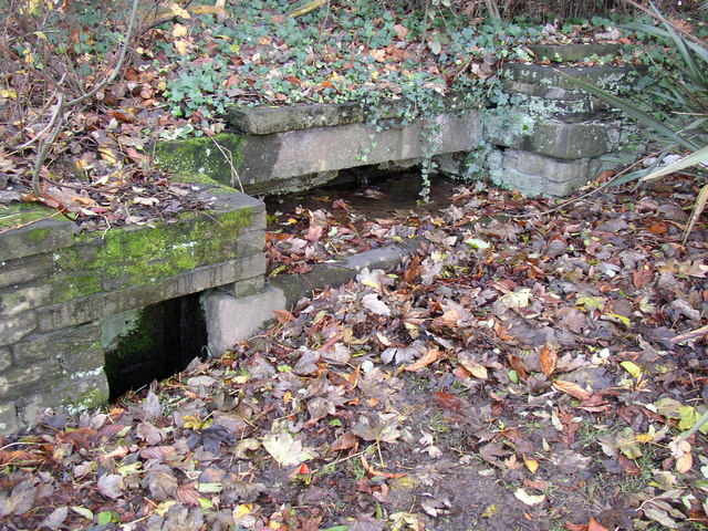
Image: © Humphrey Bolton Taken: 3 Dec 2006
The ground level may have been raised here when the road was widened. The trough discharges into the chamber on the left, which was perhaps intended for filling buckets.
Images are licensed for reuse under creativecommons.org/licenses/by-sa/2.0
Image Location
Latitude
53.661969
Longitude
-1.831988