Railway lines west of Glanmor Road level crossing, Llanelli
Introduction
The photograph on this page of Railway lines west of Glanmor Road level crossing, Llanelli by Jaggery as part of the Geograph project.
The Geograph project started in 2005 with the aim of publishing, organising and preserving representative images for every square kilometre of Great Britain, Ireland and the Isle of Man.

There are currently over 7.5m images from over 14,400 individuals and you can help contribute to the project by visiting https://www.geograph.org.uk
Railway lines west of Glanmor Road level crossing, Llanelli
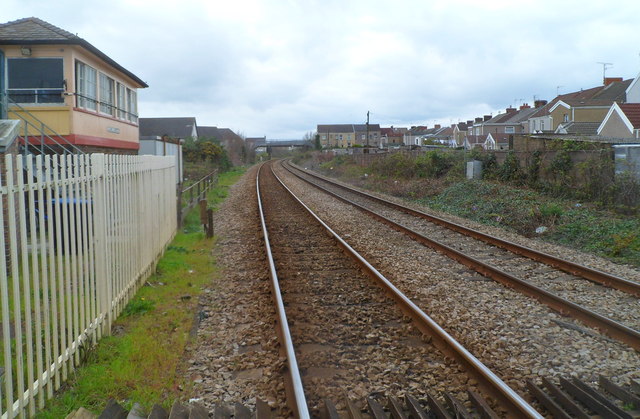
Image: © Jaggery Taken: 8 Apr 2012
Llanelli railway station is immediately behind the camera. The lines head west past Llanelli West Ground Frame http://www.geograph.org.uk/photo/2890787 on the left. The next station ahead is Pembrey and Burry Port station, about 6 km away.
Images are licensed for reuse under creativecommons.org/licenses/by-sa/2.0
Image Location
Latitude
51.674266
Longitude
-4.166385