The Dromara Road, Drumlough
Introduction
The photograph on this page of The Dromara Road, Drumlough by Albert Bridge as part of the Geograph project.
The Geograph project started in 2005 with the aim of publishing, organising and preserving representative images for every square kilometre of Great Britain, Ireland and the Isle of Man.

There are currently over 7.5m images from over 14,400 individuals and you can help contribute to the project by visiting https://www.geograph.org.uk
The Dromara Road, Drumlough
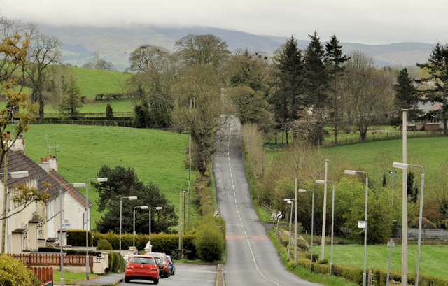
Image: © Albert Bridge Taken: 9 Apr 2012
There is little difference in the heights of Hillsborough and Dromara but the Hillsborough – Dromara road rises and falls as it makes its way through the Co Down drumlins. This view, towards Dromara, shows the road passing the hamlet of Drumlough. The low cloud (background) on the Dromara Hills gives an indication of today’s weather.
Images are licensed for reuse under creativecommons.org/licenses/by-sa/2.0
Image Location
Latitude
54.419046
Longitude
-6.048153