Road through Boturich Estate
Introduction
The photograph on this page of Road through Boturich Estate by Lairich Rig as part of the Geograph project.
The Geograph project started in 2005 with the aim of publishing, organising and preserving representative images for every square kilometre of Great Britain, Ireland and the Isle of Man.

There are currently over 7.5m images from over 14,400 individuals and you can help contribute to the project by visiting https://www.geograph.org.uk
Road through Boturich Estate
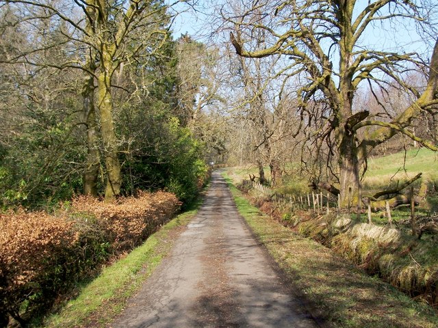
Image: © Lairich Rig Taken: 22 Mar 2012
This is a continuation of the road shown in Image The present photograph was taken from a point not far to the north of the turning for Boturich Castle.
Images are licensed for reuse under creativecommons.org/licenses/by-sa/2.0
Image Location
Latitude
56.027891
Longitude
-4.584832