Field at Meikle Boturich
Introduction
The photograph on this page of Field at Meikle Boturich by Lairich Rig as part of the Geograph project.
The Geograph project started in 2005 with the aim of publishing, organising and preserving representative images for every square kilometre of Great Britain, Ireland and the Isle of Man.

There are currently over 7.5m images from over 14,400 individuals and you can help contribute to the project by visiting https://www.geograph.org.uk
Field at Meikle Boturich
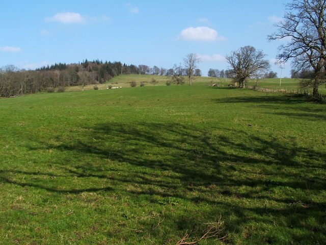
Image: © Lairich Rig Taken: 22 Mar 2012
The slopes lead up towards Knockour Hill, the top of which is not visible from here.
Images are licensed for reuse under creativecommons.org/licenses/by-sa/2.0
Image Location
Latitude
56.025428
Longitude
-4.58226