Lane to Cheriton Bishop
Introduction
The photograph on this page of Lane to Cheriton Bishop by Derek Harper as part of the Geograph project.
The Geograph project started in 2005 with the aim of publishing, organising and preserving representative images for every square kilometre of Great Britain, Ireland and the Isle of Man.

There are currently over 7.5m images from over 14,400 individuals and you can help contribute to the project by visiting https://www.geograph.org.uk
Lane to Cheriton Bishop
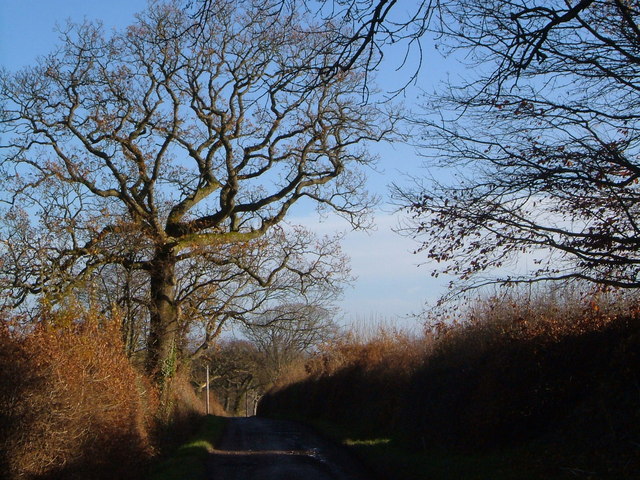
Image: © Derek Harper Taken: 2 Dec 2006
The lane followed for several kilometres by the boundary of the Dartmoor National Park (left is in it, right is outside), taken from the point where Green Lane joins it (and from where Image was taken).
Images are licensed for reuse under creativecommons.org/licenses/by-sa/2.0
Image Location
Latitude
50.711256
Longitude
-3.725058