Treskilling (disused) china clay pit
Introduction
The photograph on this page of Treskilling (disused) china clay pit by mike hancock as part of the Geograph project.
The Geograph project started in 2005 with the aim of publishing, organising and preserving representative images for every square kilometre of Great Britain, Ireland and the Isle of Man.

There are currently over 7.5m images from over 14,400 individuals and you can help contribute to the project by visiting https://www.geograph.org.uk
Treskilling (disused) china clay pit
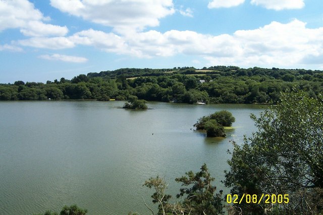
Image: © mike hancock Taken: 2 Aug 2005
It is on the Eden trail, a home to water fowl and fish; is partly covered with water lilies in the summer; and is used by Imerys (a company with interests in construction and other areas https://www.imerys.com/ ) as a reservoir.
Images are licensed for reuse under creativecommons.org/licenses/by-sa/2.0
Image Location
Latitude
50.384812
Longitude
-4.751373