Arley House Farm on Church Lane
Introduction
The photograph on this page of Arley House Farm on Church Lane by Mick Malpass as part of the Geograph project.
The Geograph project started in 2005 with the aim of publishing, organising and preserving representative images for every square kilometre of Great Britain, Ireland and the Isle of Man.

There are currently over 7.5m images from over 14,400 individuals and you can help contribute to the project by visiting https://www.geograph.org.uk
Arley House Farm on Church Lane
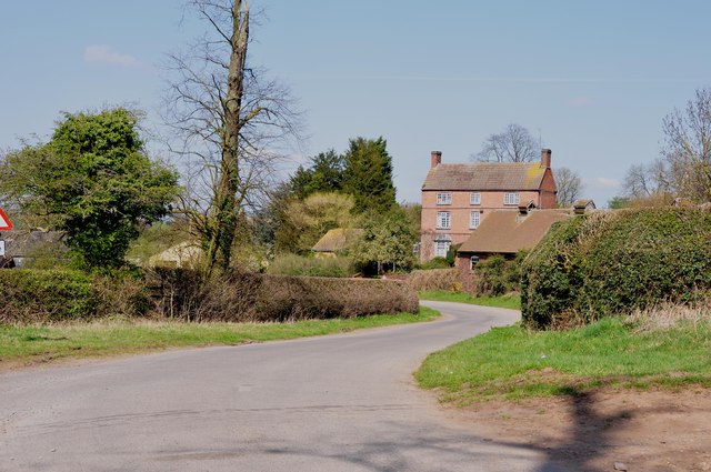
Image: © Mick Malpass Taken: 1 Apr 2012
Firtree Lane from New Arley joins just out of picture to the left.
Images are licensed for reuse under creativecommons.org/licenses/by-sa/2.0
Image Location
Latitude
52.511703
Longitude
-1.571323