Road to Hermitage Castle
Introduction
The photograph on this page of Road to Hermitage Castle by John Baker as part of the Geograph project.
The Geograph project started in 2005 with the aim of publishing, organising and preserving representative images for every square kilometre of Great Britain, Ireland and the Isle of Man.

There are currently over 7.5m images from over 14,400 individuals and you can help contribute to the project by visiting https://www.geograph.org.uk
Road to Hermitage Castle
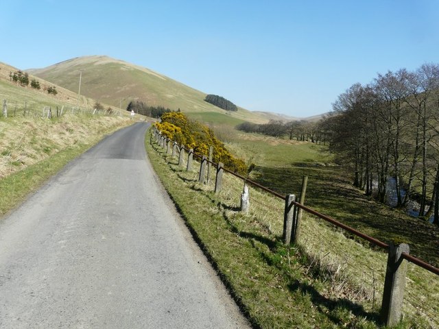
Image: © John Baker Taken: 26 Mar 2012
The white blob in the middle distance is a road sign warning of a cattle grid, at the side of which was room for me to park my car. It was an exceptionally warm day for late March; the temperature was around 20 celsius.
Images are licensed for reuse under creativecommons.org/licenses/by-sa/2.0
Image Location


Leaflet Map data © OpenStreetMap
Latitude
55.258925
Longitude
-2.95518