Benburb Street, Belfast (3)
Introduction
The photograph on this page of Benburb Street, Belfast (3) by Albert Bridge as part of the Geograph project.
The Geograph project started in 2005 with the aim of publishing, organising and preserving representative images for every square kilometre of Great Britain, Ireland and the Isle of Man.

There are currently over 7.5m images from over 14,400 individuals and you can help contribute to the project by visiting https://www.geograph.org.uk
Benburb Street, Belfast (3)
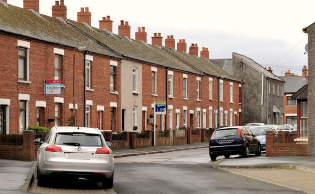
Image: © Albert Bridge Taken: 8 Apr 2012
See Image (August 2010). The Donegall Road end of Benburb Street which still has some of the original terrace houses.
Images are licensed for reuse under creativecommons.org/licenses/by-sa/2.0
Image Location
Latitude
54.588326
Longitude
-5.955902