Sycamore Crescent taken from Gun Hill
Introduction
The photograph on this page of Sycamore Crescent taken from Gun Hill by Mick Malpass as part of the Geograph project.
The Geograph project started in 2005 with the aim of publishing, organising and preserving representative images for every square kilometre of Great Britain, Ireland and the Isle of Man.

There are currently over 7.5m images from over 14,400 individuals and you can help contribute to the project by visiting https://www.geograph.org.uk
Sycamore Crescent taken from Gun Hill
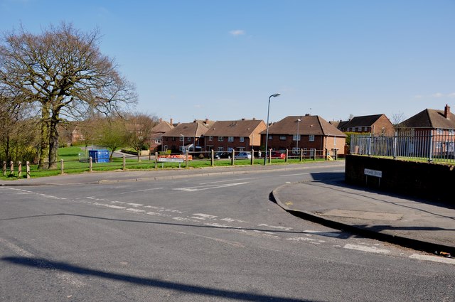
Image: © Mick Malpass Taken: 1 Apr 2012
Gun Hill is the name of the road just before it changes to Arley Lane.
Images are licensed for reuse under creativecommons.org/licenses/by-sa/2.0
Image Location
Latitude
52.505393
Longitude
-1.566523