Barnoldswick: Footpath to Frederick Street
Introduction
The photograph on this page of Barnoldswick: Footpath to Frederick Street by Dr Neil Clifton as part of the Geograph project.
The Geograph project started in 2005 with the aim of publishing, organising and preserving representative images for every square kilometre of Great Britain, Ireland and the Isle of Man.

There are currently over 7.5m images from over 14,400 individuals and you can help contribute to the project by visiting https://www.geograph.org.uk
Barnoldswick: Footpath to Frederick Street
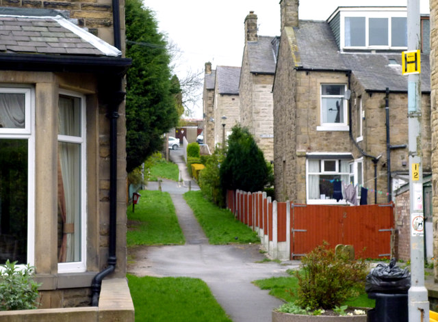
Image: © Dr Neil Clifton Taken: 8 Apr 2012
This footpath, protected by bollards from access by cars, leads up from Gisburn Road to the top end of Frederick Street and Coniston Avenue
Images are licensed for reuse under creativecommons.org/licenses/by-sa/2.0
Image Location
Latitude
53.920424
Longitude
-2.193641