Pub, fast food and housing, Lower Road, Chinnor
Introduction
The photograph on this page of Pub, fast food and housing, Lower Road, Chinnor by Richard Dorrell as part of the Geograph project.
The Geograph project started in 2005 with the aim of publishing, organising and preserving representative images for every square kilometre of Great Britain, Ireland and the Isle of Man.

There are currently over 7.5m images from over 14,400 individuals and you can help contribute to the project by visiting https://www.geograph.org.uk
Pub, fast food and housing, Lower Road, Chinnor
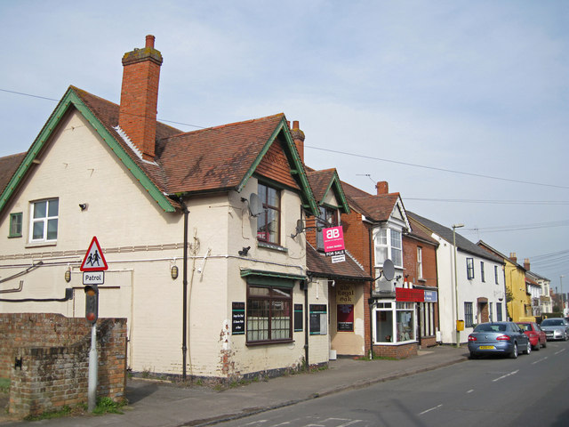
Image: © Richard Dorrell Taken: 14 Mar 2012
The pub (nearest the camera) is the Royal Oak, and is one of several pubs in the village. The Royal Oak is closed, and currently has a 'For Sale' sign outside. There is planning permission in place for conversion of the building into four self contained apartments. The new apartments will be handy for the Chinese takeaway and the fish and chip shop, which are the neighbouring businesses.
Images are licensed for reuse under creativecommons.org/licenses/by-sa/2.0
Image Location
Latitude
51.705914
Longitude
-0.909368