Former Drive to Moat Farm
Introduction
The photograph on this page of Former Drive to Moat Farm by Simon Carey as part of the Geograph project.
The Geograph project started in 2005 with the aim of publishing, organising and preserving representative images for every square kilometre of Great Britain, Ireland and the Isle of Man.

There are currently over 7.5m images from over 14,400 individuals and you can help contribute to the project by visiting https://www.geograph.org.uk
Former Drive to Moat Farm
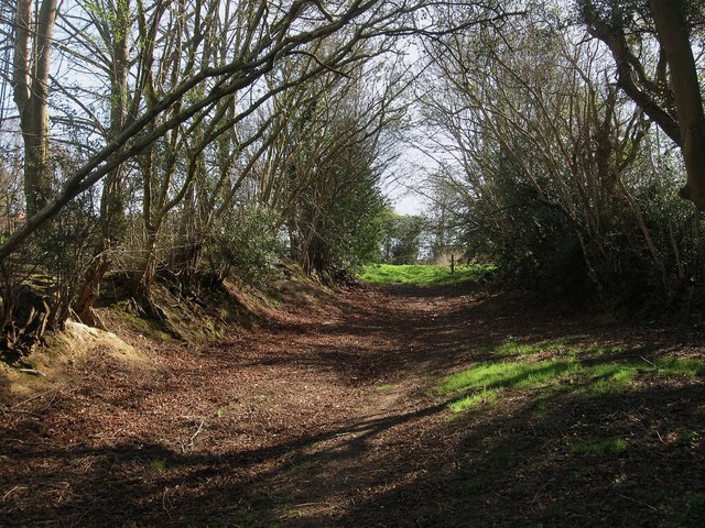
Image: © Simon Carey Taken: 6 Apr 2012
The old access route to Image from Moat Lane. The sunken nature of the old lane gives an idea of its antiquity.
Images are licensed for reuse under creativecommons.org/licenses/by-sa/2.0
Image Location


Leaflet Map data © OpenStreetMap
Latitude
50.944916
Longitude
0.18649