Allotments on Snakey Lane
Introduction
The photograph on this page of Allotments on Snakey Lane by Marathon as part of the Geograph project.
The Geograph project started in 2005 with the aim of publishing, organising and preserving representative images for every square kilometre of Great Britain, Ireland and the Isle of Man.

There are currently over 7.5m images from over 14,400 individuals and you can help contribute to the project by visiting https://www.geograph.org.uk
Allotments on Snakey Lane
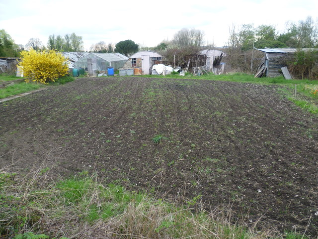
Image: © Marathon Taken: 4 Apr 2012
This is the view from Snakey Lane. It looks like a couple of old Nissen huts have been pressed into service. The very extensive allotments stretch out behind.
Images are licensed for reuse under creativecommons.org/licenses/by-sa/2.0
Image Location
Latitude
51.432179
Longitude
-0.411247