Waterways bridge
Introduction
The photograph on this page of Waterways bridge by Stephen Craven as part of the Geograph project.
The Geograph project started in 2005 with the aim of publishing, organising and preserving representative images for every square kilometre of Great Britain, Ireland and the Isle of Man.

There are currently over 7.5m images from over 14,400 individuals and you can help contribute to the project by visiting https://www.geograph.org.uk
Waterways bridge
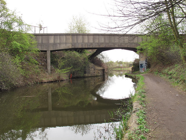
Image: © Stephen Craven Taken: 3 Apr 2012
The principal bridge in this view carries Shirland Lane over the canal. In front of it is a narrower structure with Brithsh Waterways sign on it - perhaps carrying water to feed the canal?
Images are licensed for reuse under creativecommons.org/licenses/by-sa/2.0
Image Location
Latitude
53.392148
Longitude
-1.428703