Near the end of the path along the former branch railway line, near Hartlebury
Introduction
The photograph on this page of Near the end of the path along the former branch railway line, near Hartlebury by P L Chadwick as part of the Geograph project.
The Geograph project started in 2005 with the aim of publishing, organising and preserving representative images for every square kilometre of Great Britain, Ireland and the Isle of Man.

There are currently over 7.5m images from over 14,400 individuals and you can help contribute to the project by visiting https://www.geograph.org.uk
Near the end of the path along the former branch railway line, near Hartlebury
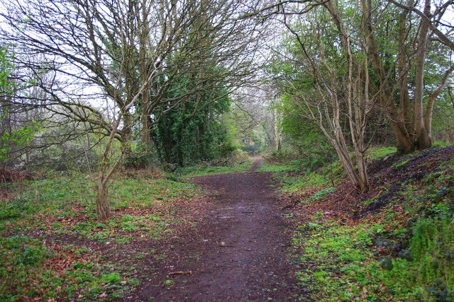
Image: © P L Chadwick Taken: 7 Apr 2012
This path has come from Stourport-on-Severn and is constructed along part of the route of the former Hartlebury to Stourport-on-Severn railway line. In this view the path can be seen making a left turn, it then goes a very short distance to descend to the very busy A449 road. Ahead is a short path which leads to the remains of the former railway bridge. At that point it is sealed off, as the part of the bridge crossing the road has been removed. See:- Image
Images are licensed for reuse under creativecommons.org/licenses/by-sa/2.0
Image Location


Leaflet Map data © OpenStreetMap
Latitude
52.344592
Longitude
-2.229243