Wilford Lane
Introduction
The photograph on this page of Wilford Lane by Alan Murray-Rust as part of the Geograph project.
The Geograph project started in 2005 with the aim of publishing, organising and preserving representative images for every square kilometre of Great Britain, Ireland and the Isle of Man.

There are currently over 7.5m images from over 14,400 individuals and you can help contribute to the project by visiting https://www.geograph.org.uk
Wilford Lane
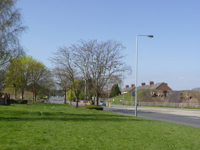
Image: © Alan Murray-Rust Taken: 1 Apr 2012
Looking towards the site of the new tramway crossing. The embankments on both sides of the road are to be removed, and felling of trees has already taken place.
Images are licensed for reuse under creativecommons.org/licenses/by-sa/2.0
Image Location
Latitude
52.925524
Longitude
-1.1564