Hillside barn above Harlech
Introduction
The photograph on this page of Hillside barn above Harlech by Bill Boaden as part of the Geograph project.
The Geograph project started in 2005 with the aim of publishing, organising and preserving representative images for every square kilometre of Great Britain, Ireland and the Isle of Man.

There are currently over 7.5m images from over 14,400 individuals and you can help contribute to the project by visiting https://www.geograph.org.uk
Hillside barn above Harlech
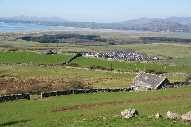
Image: © Bill Boaden Taken: 27 Mar 2012
The higher you get up the hill, the more of the Dwyryd estuary becomes visible.
Images are licensed for reuse under creativecommons.org/licenses/by-sa/2.0
Image Location
Latitude
52.857527
Longitude
-4.100391