A59 at Switch Island
Introduction
The photograph on this page of A59 at Switch Island by Peter Whatley as part of the Geograph project.
The Geograph project started in 2005 with the aim of publishing, organising and preserving representative images for every square kilometre of Great Britain, Ireland and the Isle of Man.

There are currently over 7.5m images from over 14,400 individuals and you can help contribute to the project by visiting https://www.geograph.org.uk
A59 at Switch Island
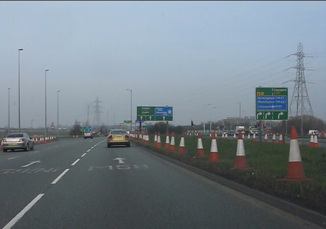
Image: © Peter Whatley Taken: 23 Mar 2012
The northbound A59 is now free-flowing across half of Switch Island, with a further three lanes to the right for access to the M57, one of which also functions as an escape lane for traffic to Liverpool or Ormskirk which has taken the wrong right-turn at the end of that motorway. For more see: http://www.geograph.org.uk/photo/2884695 and http://www.cbrd.co.uk/badjunctions/57-58-59/ .
Images are licensed for reuse under creativecommons.org/licenses/by-sa/2.0
Image Location
Latitude
53.493891
Longitude
-2.952735