Woodland near Lower Lodge Farm
Introduction
The photograph on this page of Woodland near Lower Lodge Farm by Dave King as part of the Geograph project.
The Geograph project started in 2005 with the aim of publishing, organising and preserving representative images for every square kilometre of Great Britain, Ireland and the Isle of Man.

There are currently over 7.5m images from over 14,400 individuals and you can help contribute to the project by visiting https://www.geograph.org.uk
Woodland near Lower Lodge Farm
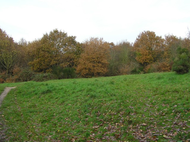
Image: © Dave King Taken: 2 Dec 2006
Lower Lodge Farm is now a housing estate, this woodland is between the estate and the River Colne.
Images are licensed for reuse under creativecommons.org/licenses/by-sa/2.0
Image Location
Latitude
51.863954
Longitude
0.954155