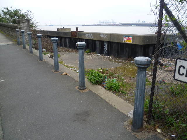
Dereliction at The Shore, Gravesend
Introduction
The photograph on this page of Dereliction at The Shore, Gravesend by Marathon as part of the Geograph project.
The Geograph project started in 2005 with the aim of publishing, organising and preserving representative images for every square kilometre of Great Britain, Ireland and the Isle of Man.
There are currently over 7.5m images from over 14,400 individuals and you can help contribute to the project by visiting https://www.geograph.org.uk

Image: © Marathon Taken: 5 Apr 2012
No part of Gravesend is more run down at present than the area along by the river to the west of the centre, in the area known as Rosherville. Rosherville Gardens were laid out in 1837 in one of the disused chalk pits just west of here by Crete Hall Road, and covered an area of 17 acres. Their full title was the 'Kent Zoological and Botanical Gardens Institution’. In the Victorian period they became a favourite destination for thousands of Londoners, many travelling by paddle steamer down the River Thames to disembark at the pier built to service the gardens. By 1880 the gardens had reached the peak of their popularity and in 1901 they were closed. This scene of desolation by The Shore should hopefully be transformed at some stage by the Thames Gateway development. At present the litter strewn riverside walkway beyond the bollards leads nowhere.

