Glasshouse, Tableybrook
Introduction
The photograph on this page of Glasshouse, Tableybrook by Richard Webb as part of the Geograph project.
The Geograph project started in 2005 with the aim of publishing, organising and preserving representative images for every square kilometre of Great Britain, Ireland and the Isle of Man.

There are currently over 7.5m images from over 14,400 individuals and you can help contribute to the project by visiting https://www.geograph.org.uk
Glasshouse, Tableybrook
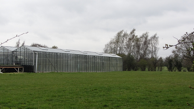
Image: © Richard Webb Taken: 31 Mar 2012
Traditionally the Cheshire Plain has been a dairy farming area. It is still largely grass covered with numerous small ponds. Livery and horticulture are major land uses in this area. I still met the milk tanker though.
Images are licensed for reuse under creativecommons.org/licenses/by-sa/2.0
Image Location
Latitude
53.307584
Longitude
-2.438624