Pasture-moorland boundary on Resting Hill
Introduction
The photograph on this page of Pasture-moorland boundary on Resting Hill by Espresso Addict as part of the Geograph project.
The Geograph project started in 2005 with the aim of publishing, organising and preserving representative images for every square kilometre of Great Britain, Ireland and the Isle of Man.

There are currently over 7.5m images from over 14,400 individuals and you can help contribute to the project by visiting https://www.geograph.org.uk
Pasture-moorland boundary on Resting Hill
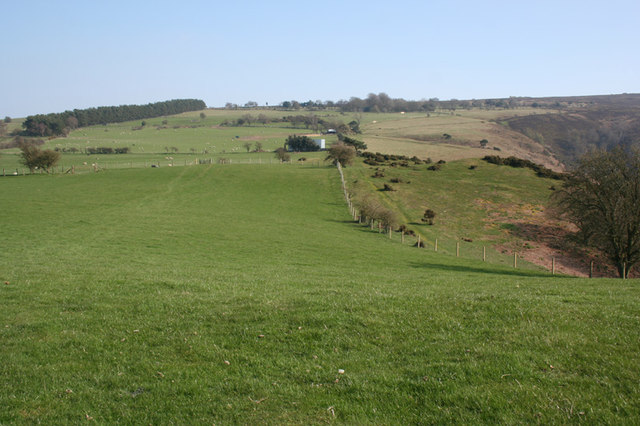
Image: © Espresso Addict Taken: 17 Apr 2010
The fence (right & centre) divides lush sheep pasture (left) from moorland (right), at an elevation of around 340 metres near the summit of Resting Hill
Images are licensed for reuse under creativecommons.org/licenses/by-sa/2.0
Image Location


Leaflet Map data © OpenStreetMap
Latitude
52.609993
Longitude
-2.926047