Snicket Moortown Leeds Yorkshire
Introduction
The photograph on this page of Snicket Moortown Leeds Yorkshire by Clive Perrin as part of the Geograph project.
The Geograph project started in 2005 with the aim of publishing, organising and preserving representative images for every square kilometre of Great Britain, Ireland and the Isle of Man.

There are currently over 7.5m images from over 14,400 individuals and you can help contribute to the project by visiting https://www.geograph.org.uk
Snicket Moortown Leeds Yorkshire
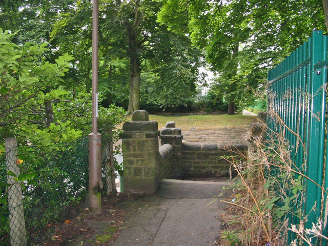
Image: © Clive Perrin Taken: 1 Aug 2005
This path runs from Sandringham Drive to the Harrogate Road ahead. Behind the trees is an underground reservoir and water tower.
Images are licensed for reuse under creativecommons.org/licenses/by-sa/2.0
Image Location
Latitude
53.850467
Longitude
-1.533298