Y-Bwthyn
Introduction
The photograph on this page of Y-Bwthyn by chris whitehouse as part of the Geograph project.
The Geograph project started in 2005 with the aim of publishing, organising and preserving representative images for every square kilometre of Great Britain, Ireland and the Isle of Man.

There are currently over 7.5m images from over 14,400 individuals and you can help contribute to the project by visiting https://www.geograph.org.uk
Y-Bwthyn
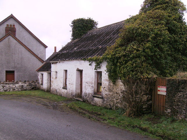
Image: © chris whitehouse Taken: 27 Feb 2012
Rear of Chapel is this cottage, no longer inhabited, but it had two fireplaces! The building has had many uses over the decades.
Images are licensed for reuse under creativecommons.org/licenses/by-sa/2.0
Image Location


Leaflet Map data © OpenStreetMap
Latitude
51.918122
Longitude
-4.646528