Meadow by the Fingle stream
Introduction
The photograph on this page of Meadow by the Fingle stream by Derek Harper as part of the Geograph project.
The Geograph project started in 2005 with the aim of publishing, organising and preserving representative images for every square kilometre of Great Britain, Ireland and the Isle of Man.

There are currently over 7.5m images from over 14,400 individuals and you can help contribute to the project by visiting https://www.geograph.org.uk
Meadow by the Fingle stream
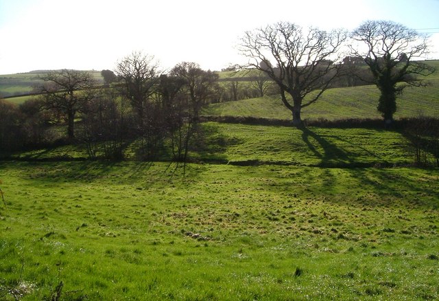
Image: © Derek Harper Taken: 2 Dec 2006
The stream crossing the centre of this field runs from Whiddon Down to join the Teign at Fingle Bridge. This picture was taken close to East Fingle farm from the lane between Crockernwell and Drewsteignton.
Images are licensed for reuse under creativecommons.org/licenses/by-sa/2.0
Image Location
Latitude
50.707707
Longitude
-3.781581