Drewsteignton Bridleway 3
Introduction
The photograph on this page of Drewsteignton Bridleway 3 by Derek Harper as part of the Geograph project.
The Geograph project started in 2005 with the aim of publishing, organising and preserving representative images for every square kilometre of Great Britain, Ireland and the Isle of Man.

There are currently over 7.5m images from over 14,400 individuals and you can help contribute to the project by visiting https://www.geograph.org.uk
Drewsteignton Bridleway 3
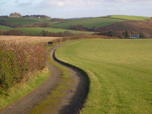
Image: © Derek Harper Taken: 2 Dec 2006
Following a sinuous track leading from Borough Cross to Coombe Hall, the building on the right, in the next square. The building in the left distance is Moor View, which must sum it up, and the wood immediately behind it is Tinker's Grove Plantation, seen in Image
Images are licensed for reuse under creativecommons.org/licenses/by-sa/2.0
Image Location
Latitude
50.705248
Longitude
-3.765909