Upperthorpe Hill
Introduction
The photograph on this page of Upperthorpe Hill by Richard Croft as part of the Geograph project.
The Geograph project started in 2005 with the aim of publishing, organising and preserving representative images for every square kilometre of Great Britain, Ireland and the Isle of Man.

There are currently over 7.5m images from over 14,400 individuals and you can help contribute to the project by visiting https://www.geograph.org.uk
Upperthorpe Hill
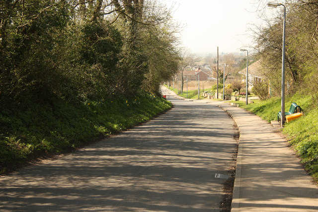
Image: © Richard Croft Taken: 28 Mar 2012
Descent from a high point of 39m (at the summit of Cross Hill and Upperthorpe Hill) looking towards Westwoodside
Images are licensed for reuse under creativecommons.org/licenses/by-sa/2.0
Image Location
Latitude
53.491443
Longitude
-0.868931