Sunken Green
Introduction
The photograph on this page of Sunken Green by mike smith as part of the Geograph project.
The Geograph project started in 2005 with the aim of publishing, organising and preserving representative images for every square kilometre of Great Britain, Ireland and the Isle of Man.

There are currently over 7.5m images from over 14,400 individuals and you can help contribute to the project by visiting https://www.geograph.org.uk
Sunken Green
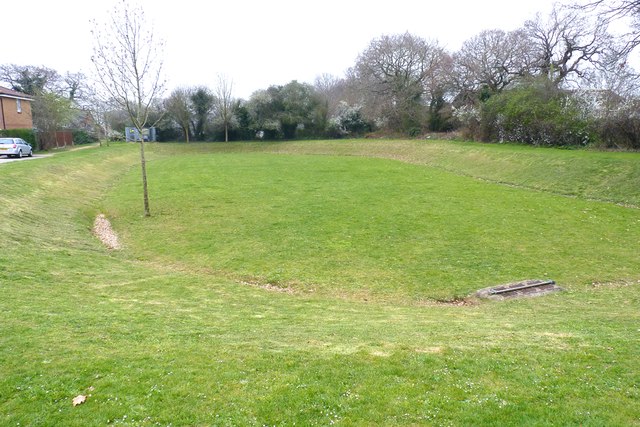
Image: © mike smith Taken: 5 Apr 2012
This is in a newish housing development. No doubt it is used as a play area by local children, but the sunken aspect suggests it doubles as a flood-avoidance drainage system.
Images are licensed for reuse under creativecommons.org/licenses/by-sa/2.0
Image Location
Latitude
50.761859
Longitude
-1.66775