Stem Lane (Old and New)
Introduction
The photograph on this page of Stem Lane (Old and New) by mike smith as part of the Geograph project.
The Geograph project started in 2005 with the aim of publishing, organising and preserving representative images for every square kilometre of Great Britain, Ireland and the Isle of Man.

There are currently over 7.5m images from over 14,400 individuals and you can help contribute to the project by visiting https://www.geograph.org.uk
Stem Lane (Old and New)
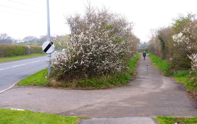
Image: © mike smith Taken: 5 Apr 2012
The original Stem Lane was on the right in the photo, and is now a footpath. The new Stem Lane (left) was a realignment and widening about 25 years ago when new housing was being developed to the east of the road.
Images are licensed for reuse under creativecommons.org/licenses/by-sa/2.0
Image Location
Latitude
50.762674
Longitude
-1.669729