Cycle route near Croftamie
Introduction
The photograph on this page of Cycle route near Croftamie by Lairich Rig as part of the Geograph project.
The Geograph project started in 2005 with the aim of publishing, organising and preserving representative images for every square kilometre of Great Britain, Ireland and the Isle of Man.

There are currently over 7.5m images from over 14,400 individuals and you can help contribute to the project by visiting https://www.geograph.org.uk
Cycle route near Croftamie
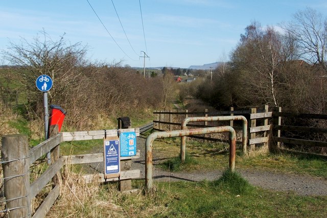
Image: © Lairich Rig Taken: 30 Mar 2012
The cycle route (NCN 7) leaves the road here, following the course of the old Forth and Clyde Junction Railway. See Image and Image The sign on the fence says that this is a permissive path (i.e., it is in use by permission of the landowner), rather than a public right of way.
Images are licensed for reuse under creativecommons.org/licenses/by-sa/2.0
Image Location
Latitude
56.04307
Longitude
-4.453376