Cider House Walk
Introduction
The photograph on this page of Cider House Walk by Simon Carey as part of the Geograph project.
The Geograph project started in 2005 with the aim of publishing, organising and preserving representative images for every square kilometre of Great Britain, Ireland and the Isle of Man.

There are currently over 7.5m images from over 14,400 individuals and you can help contribute to the project by visiting https://www.geograph.org.uk
Cider House Walk
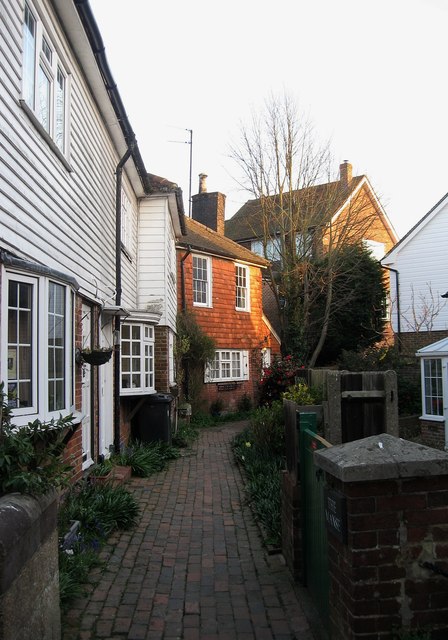
Image: © Simon Carey Taken: 1 Apr 2012
Small alley linking High Street to Buttsfield Lane. The cottages here date from the 18th century and once looked out over the old village green and pond.
Images are licensed for reuse under creativecommons.org/licenses/by-sa/2.0
Image Location
Latitude
50.925254
Longitude
0.165362