Broad Street houses, Llandovery
Introduction
The photograph on this page of Broad Street houses, Llandovery by Jaggery as part of the Geograph project.
The Geograph project started in 2005 with the aim of publishing, organising and preserving representative images for every square kilometre of Great Britain, Ireland and the Isle of Man.

There are currently over 7.5m images from over 14,400 individuals and you can help contribute to the project by visiting https://www.geograph.org.uk
Broad Street houses, Llandovery
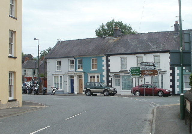
Image: © Jaggery Taken: 5 Jun 2011
Viewed along Queensway (the A40). The A40 bends to the left here, heading for Sennybridge and Brecon. Turn right for Llandovery RFC, a pet & garden centre, an industrial estate and Llangadog (5 miles).
Images are licensed for reuse under creativecommons.org/licenses/by-sa/2.0
Image Location
Latitude
51.992475
Longitude
-3.800093