HomeWatch area, Llandovery
Introduction
The photograph on this page of HomeWatch area, Llandovery by Jaggery as part of the Geograph project.
The Geograph project started in 2005 with the aim of publishing, organising and preserving representative images for every square kilometre of Great Britain, Ireland and the Isle of Man.

There are currently over 7.5m images from over 14,400 individuals and you can help contribute to the project by visiting https://www.geograph.org.uk
HomeWatch area, Llandovery
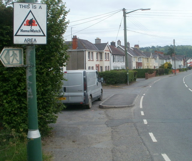
Image: © Jaggery Taken: 5 Jun 2011
The sign is at the northern edge of Tywi Avenue (A40). HomeWatch is a neighbourhood watch scheme where local householders keep a general watch on each other's property and the local streets, to try to prevent crime.
Images are licensed for reuse under creativecommons.org/licenses/by-sa/2.0
Image Location
Latitude
51.996902
Longitude
-3.804641