View from The Stable, Milton Mains Farm
Introduction
The photograph on this page of View from The Stable, Milton Mains Farm by John Baker as part of the Geograph project.
The Geograph project started in 2005 with the aim of publishing, organising and preserving representative images for every square kilometre of Great Britain, Ireland and the Isle of Man.

There are currently over 7.5m images from over 14,400 individuals and you can help contribute to the project by visiting https://www.geograph.org.uk
View from The Stable, Milton Mains Farm
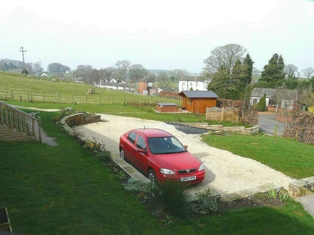
Image: © John Baker Taken: 24 Mar 2012
The signal box and raised level crossing barriers are visible and provided a source of interest when either passenger or freight trains caused them to be lowered. I stayed in one of the three holiday cottages, that were converted from a stable at Milton Mains Farm, from 23-30 March 2012 see http://www.sykescottages.co.uk/cottage/Lake-District-Cumbria-The-Lake-District-Brampton/The-Stable-3739.html
Images are licensed for reuse under creativecommons.org/licenses/by-sa/2.0
Image Location
Latitude
54.937276
Longitude
-2.693746