Leicester - Rally Community Park
Introduction
The photograph on this page of Leicester - Rally Community Park by David Hallam-Jones as part of the Geograph project.
The Geograph project started in 2005 with the aim of publishing, organising and preserving representative images for every square kilometre of Great Britain, Ireland and the Isle of Man.

There are currently over 7.5m images from over 14,400 individuals and you can help contribute to the project by visiting https://www.geograph.org.uk
Leicester - Rally Community Park
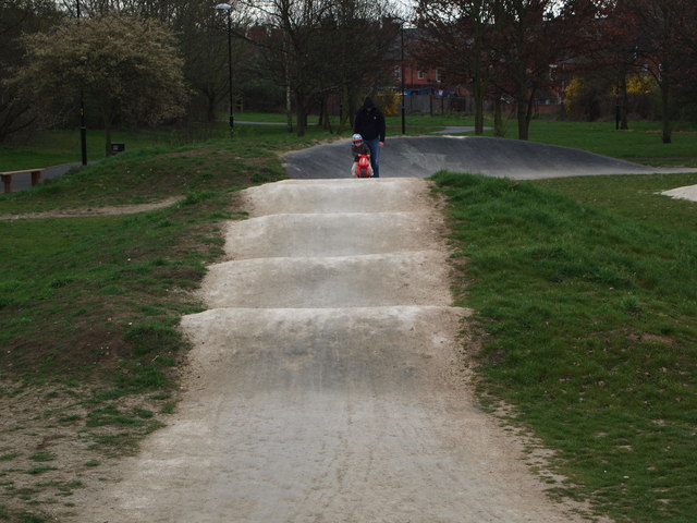
Image: © David Hallam-Jones Taken: 31 Mar 2012
A view of one of the BMX pistes in an area of Rally Community Park close to the River Soar. In the past this area was a London Midland Railway Company goods yard associated with the 19th century Leicester to Swannington Railway. Now it is probably referred to as "a community park" because apart from having been grassed over it remains fairly undeveloped. This BMX track is very obviously here and some tree-planting appears to have taken place in the past. However, despite the fact that the City Council managed to secure the promise of £475K from central government in mid 2011 for further regeneration work there are few signs of progress yet.
Images are licensed for reuse under creativecommons.org/licenses/by-sa/2.0
Image Location


Leaflet Map data © OpenStreetMap
Latitude
52.638141
Longitude
-1.146569