Cedars, Highcliffe Drive
Introduction
The photograph on this page of Cedars, Highcliffe Drive by Stephen Richards as part of the Geograph project.
The Geograph project started in 2005 with the aim of publishing, organising and preserving representative images for every square kilometre of Great Britain, Ireland and the Isle of Man.

There are currently over 7.5m images from over 14,400 individuals and you can help contribute to the project by visiting https://www.geograph.org.uk
Cedars, Highcliffe Drive
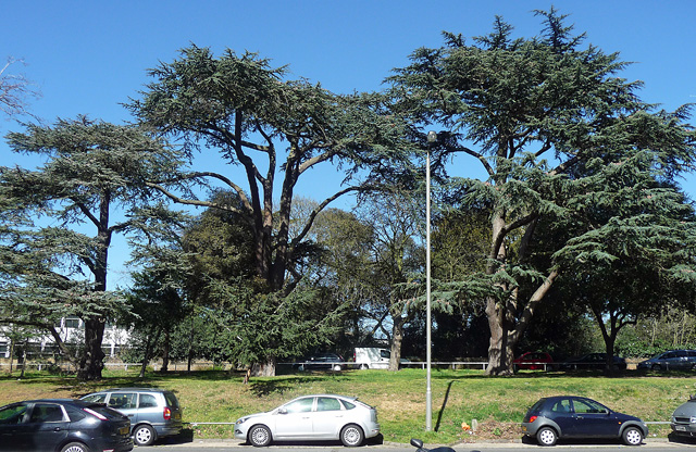
Image: © Stephen Richards Taken: 26 Mar 2012
Three specimens between the top of the Alton West Estate and Clarence Lane. Roehampton was a favoured area for country villas (an unusually high proportion of which survive), and, despite extensive modern development, many fine mature trees from their grounds have been preserved.
Images are licensed for reuse under creativecommons.org/licenses/by-sa/2.0
Image Location
Latitude
51.454113
Longitude
-0.246693