Plane, Minstead Gardens
Introduction
The photograph on this page of Plane, Minstead Gardens by Stephen Richards as part of the Geograph project.
The Geograph project started in 2005 with the aim of publishing, organising and preserving representative images for every square kilometre of Great Britain, Ireland and the Isle of Man.

There are currently over 7.5m images from over 14,400 individuals and you can help contribute to the project by visiting https://www.geograph.org.uk
Plane, Minstead Gardens
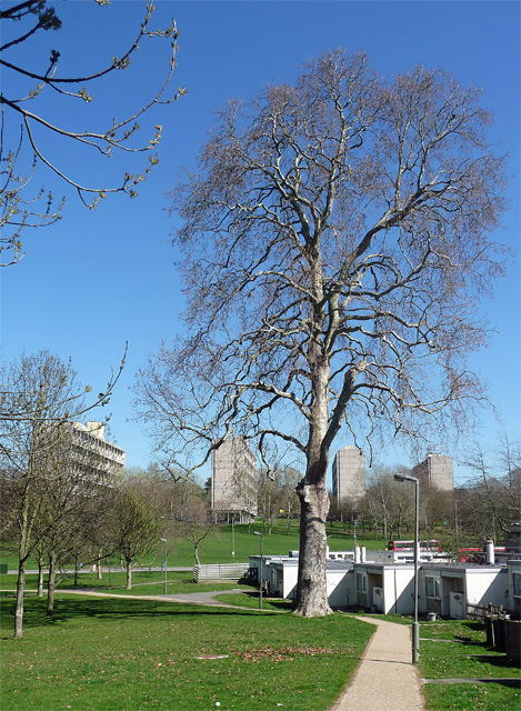
Image: © Stephen Richards Taken: 26 Mar 2012
When one looks at them afresh, difficult in London where they are ubiquitous, one is struck by the extraordinary heights to which planes can grow. Beyond are four of the five slabs of the Alton West Estate. The plane dwarfs the bungalows (another element of the estate and now sheltered housing) huddled at its base.
Images are licensed for reuse under creativecommons.org/licenses/by-sa/2.0
Image Location
Latitude
51.452183
Longitude
-0.249933