Wembley - Dagmar Avenue
Introduction
The photograph on this page of Wembley - Dagmar Avenue by Peter Whatley as part of the Geograph project.
The Geograph project started in 2005 with the aim of publishing, organising and preserving representative images for every square kilometre of Great Britain, Ireland and the Isle of Man.

There are currently over 7.5m images from over 14,400 individuals and you can help contribute to the project by visiting https://www.geograph.org.uk
Wembley - Dagmar Avenue
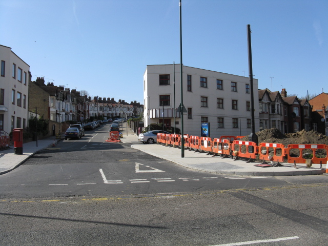
Image: © Peter Whatley Taken: 1 Apr 2012
Work on Wembley Hill Road has eliminated the long-established triangular roundabout between here and Empire Way. The white car is parked on what is now a cul-de-sac, having formerly been the western arm of the triangular circuit.
Images are licensed for reuse under creativecommons.org/licenses/by-sa/2.0
Image Location
Latitude
51.556244
Longitude
-0.287775