Sentry Road approaching the crossroads
Introduction
The photograph on this page of Sentry Road approaching the crossroads by Eric Jones as part of the Geograph project.
The Geograph project started in 2005 with the aim of publishing, organising and preserving representative images for every square kilometre of Great Britain, Ireland and the Isle of Man.

There are currently over 7.5m images from over 14,400 individuals and you can help contribute to the project by visiting https://www.geograph.org.uk
Sentry Road approaching the crossroads
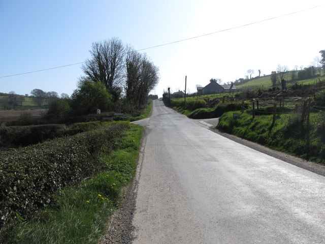
Image: © Eric Jones Taken: 28 Mar 2012
Beyond the crossroads the road, after a gap of two kms, once again becomes Fernhill Road. Such are the complexities of road naming in the Ulster countryside. At the crossroads, the wider road is joined by two narrower roads, Glenburn Road from the left and Knock Road from the right.
Images are licensed for reuse under creativecommons.org/licenses/by-sa/2.0
Image Location
Latitude
54.283517
Longitude
-6.184021